Albert Arnold 'Al' Gore Jr.
45th US Vice President and Nobel Peace Prize Laureate
Sir David Frederick Attenborough
Journalist, biologist, natural historian and authorThe view from the Explorers
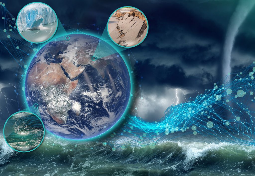
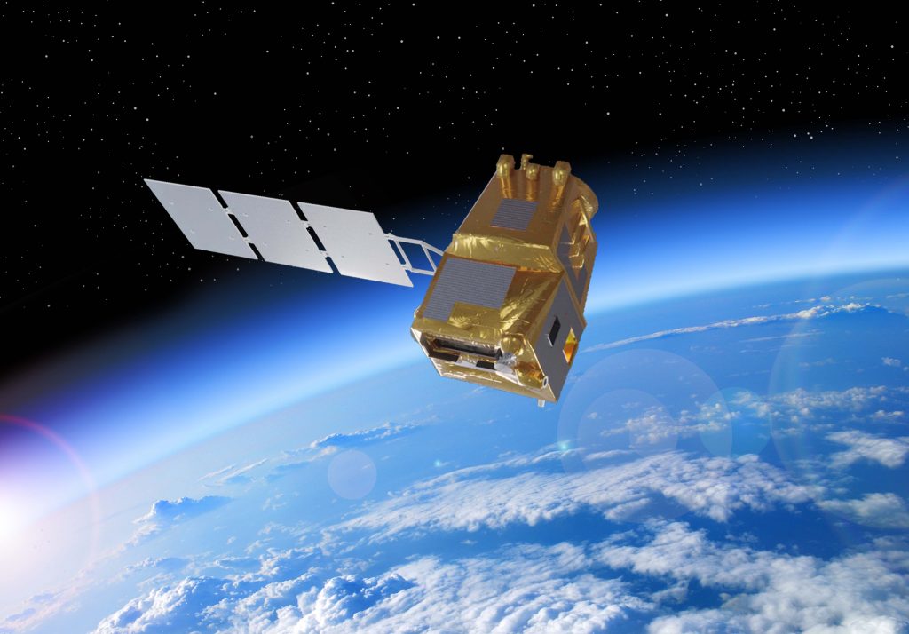
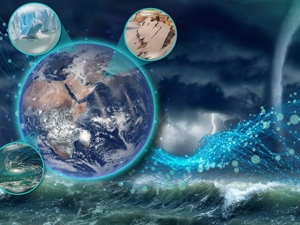
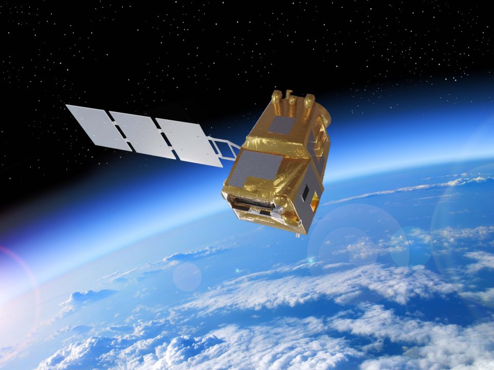
The Earth Explorers are keeping an eye on the escalating changes to the Earth system, especially climate change, extreme weather conditions and biodiversity and environmental phenomena such as desertification and the decline of wetlands. With its Explorer missions, the FutureEO framework programme serves as a powerhouse of ideas and a hub for scientific Earth observation in Europe.
The weather satellites of the European Meteorological Satellite Organisation (EUMETSAT), most of their measuring instruments, and the Sentinel satellites of the Copernicus programme all have their origins here. The programme paves the way for new markets by making greater use of NewSpace approaches and innovative technology such as artificial intelligence (AI) and machine learning. For instance, users can transfer their algorithms to ESA and receive analysed Earth observation data faster than ever before. This also gives small and medium-sized enterprises (SMEs) and start-ups the opportunity to present their services to global markets. The programme fits perfectly into the high-tech, SME-focused sustainability strategy and the German government's start-up offensive (GO).
The discovery satellites, equipped with the latest technology, form the basis for the Living Planet research programme. Many of these missions were created under German scientific and industrial leadership, with generous work packages from German industry and research groups. By investing 347 million euros in the programme, Germany can build upon its leading position in future and maintain access to key strategic technologies.
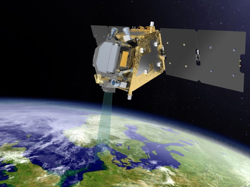

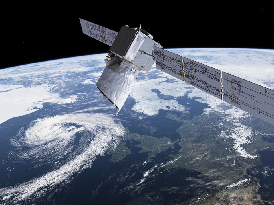

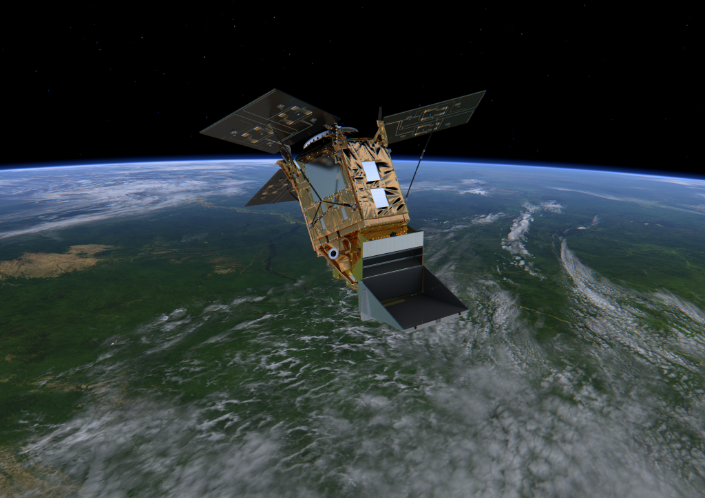
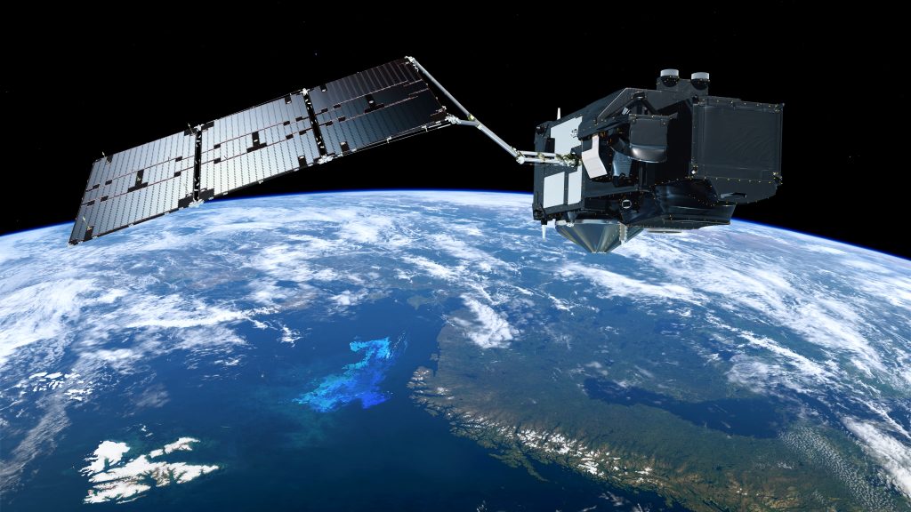
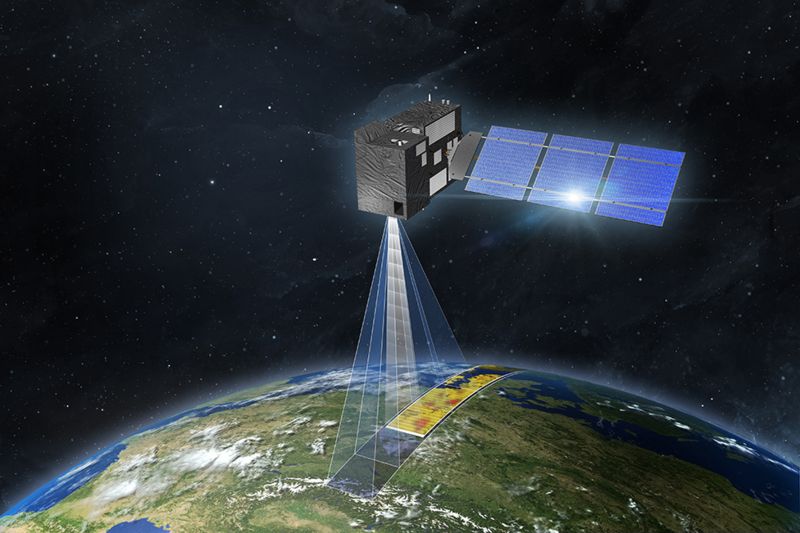
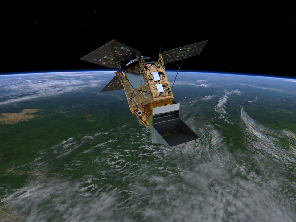
The view from the Sentinels
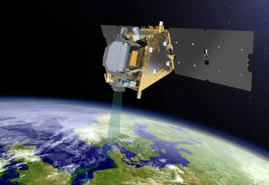
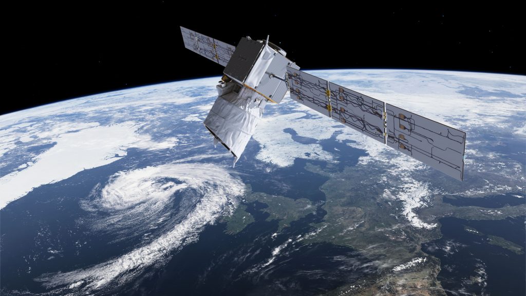
ESA’s Copernicus Space Component (CSC-4) programme is part of Copernicus, a joint initiative of the European Union, ESA, EUMETSAT and their member states. Based on existing and new Earth observation technology, Copernicus provides operational geodata services for environmental monitoring and civil security. They are adapted to the needs of users and primarily cover the environment, climate protection, sustainable development, humanitarian aid and civil security issues.
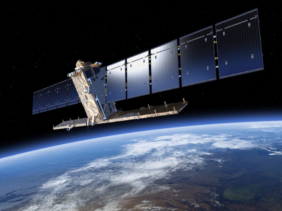
The six new Sentinel missions in CSC-4 and the refinements to three Sentinel satellites (Sentinel 1NG, 2NG and 3NG) will enable new observations and lead the way into the future. Among other things, they will help the signatory states of the Paris Climate Agreement monitor their emissions targets – especially carbon dioxide – as part of their 'stocktake' from 2028 onwards.
The long-term planning horizon at Copernicus and EUMETSAT offers a great opportunity for German companies to secure profitable follow-up orders for series production as part of the ESA programmes. Many research institutions and service providers from Germany will also be involved in evaluating the data, sending a strong signal about German capabilities in environmental and climate protection.
Having free data access also enables German companies to open up new business areas in geoinformation services, so it is part of the government’s commercialisation strategy. Various studies have concluded that every euro invested in Copernicus generates between four to ten euros in socioeconomic benefits. In Germany, policy makers, the administration and key economic and scientific sectors are all major beneficiaries of this high-quality information.
The Copernicus ground segment is constantly being expanded to increase and streamline the future activities of the hundreds of thousands of users worldwide, with a view to enhancing this simple yet stable gateway to Sentinel data. By investing 185 million euros in the programme, the federal government has taken a positive step towards achieving these goals.
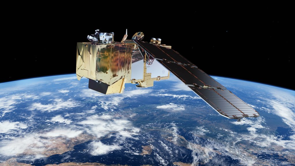
A fair wind for weather forecasting
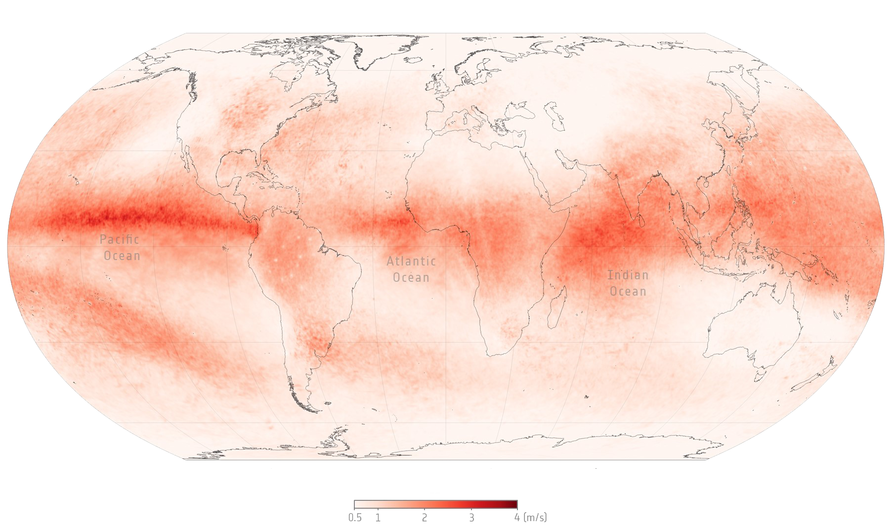
Clouds – and with them bad weather fronts – are constantly on the move. This is down to the wind. Yet despite wind’s influence on the weather, it has not played a major role in forecasting so far, as wind data usually comes from weather balloons or commercial aircraft. This has meant that the wind over sparsely populated areas, polar regions and the oceans has hardly been observed to date, despite its major impact on global weather patterns.
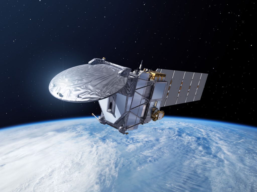
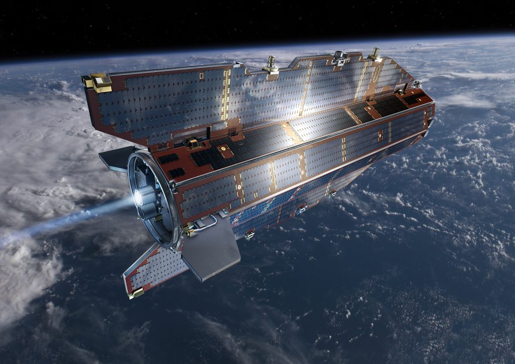
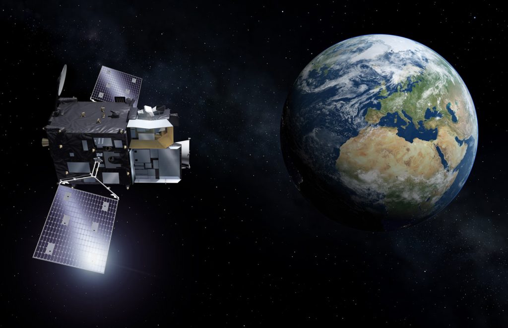
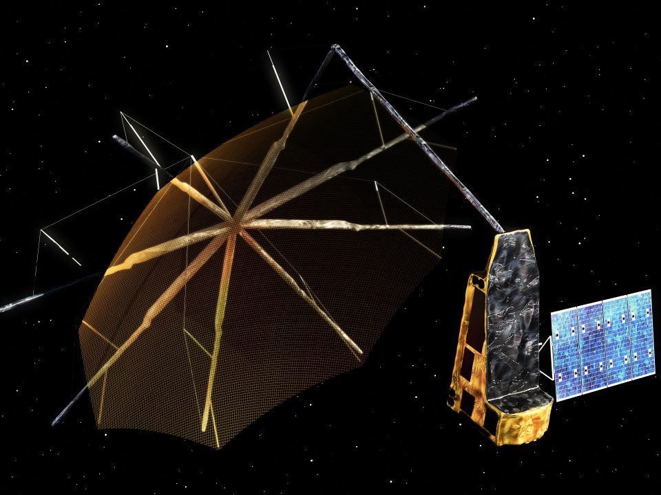
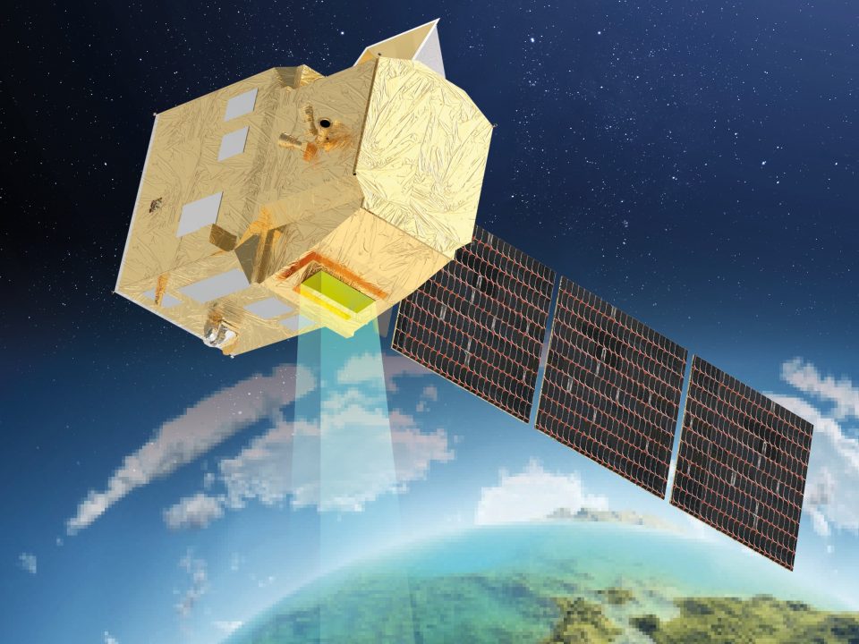
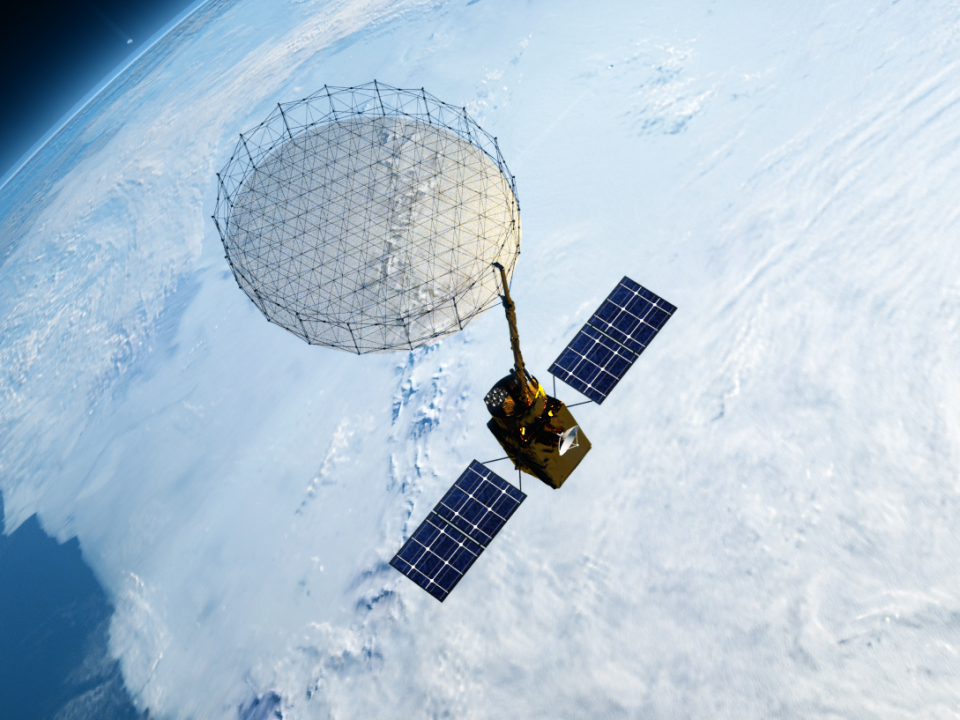
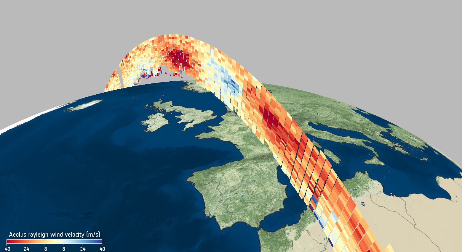
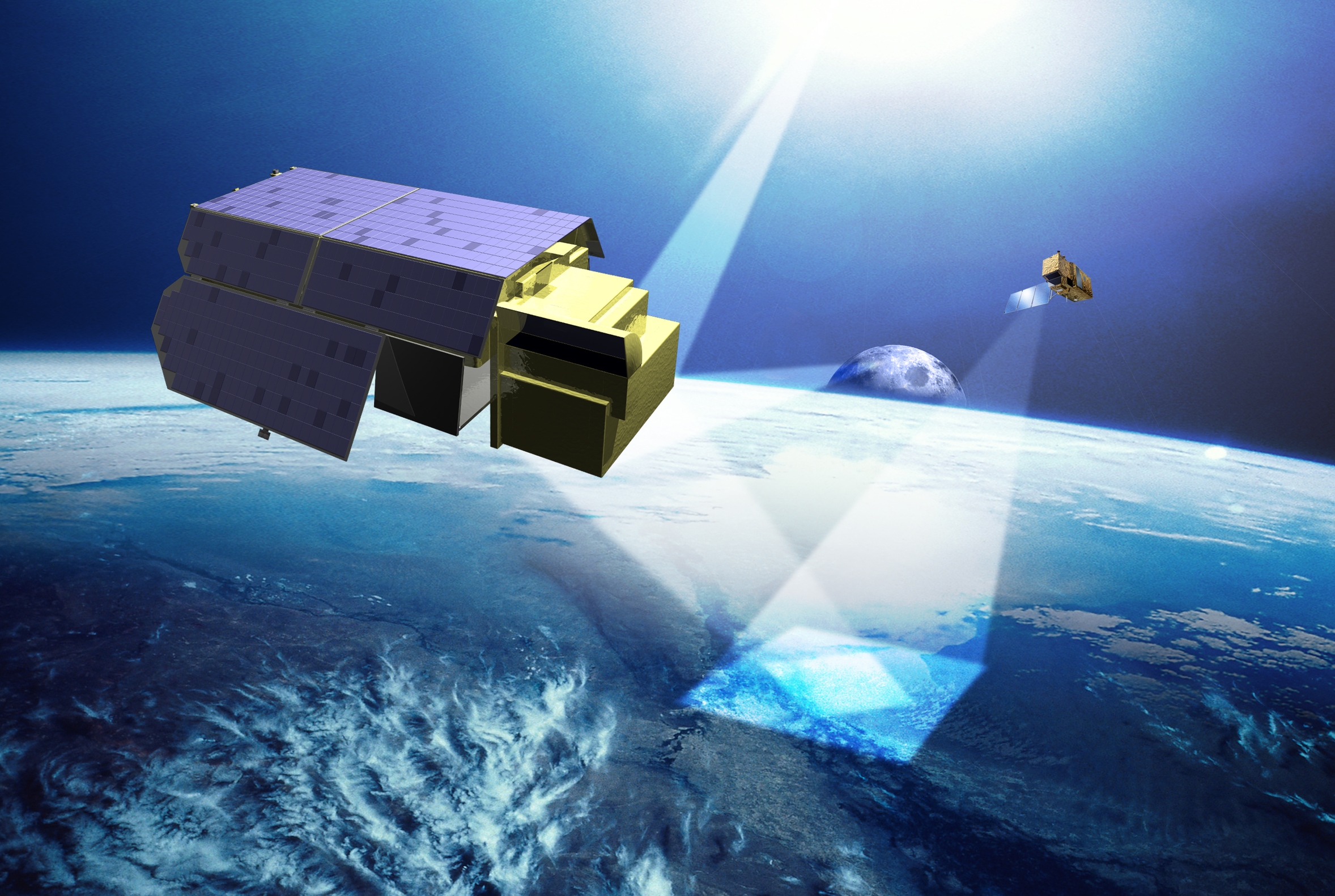
Since August 2018, Aeolus from the FutureEO programme has been the first satellite to use its double LiDAR instrument to measure and record wind fields and their movement worldwide at different altitudes throughout the atmosphere.
With Aeolus-2, this test satellite is now the focus of a programme run by the European Organisation for the Exploitation of Meteorological Satellites (EUMETSAT). Two satellites are scheduled to routinely measure global 3D wind fields from 2030 to 2040, with the goal of significantly refining our weather-forecasting capabilities.
As part of the preparatory programme for Aeolus-2, Germany provided national funding and assisted in the development of the laser transmitter. The Fraunhofer Institute for Laser Technology in Aachen and Airbus in Friedrichshafen have developed new, world-leading technologies that are used in the laser instrument of the national methane mission MERLIN. OHB and Jena-Optronik are notable for developing other instrument assemblies, including the telescope. The DLR Institute of Atmospheric Physics is playing a central role.
The European scientific community, the European Centre for Medium-Range Weather Forecasts (ECMWF) and the World Meteorological Organization (WMO) support this mission, and the German weather service DWD is interested in using the data. By investing 105 million euros in the programme, the federal government has taken a positive step towards the construction of the LiDAR instrument in Germany.
Using satellite data to decide climate measures
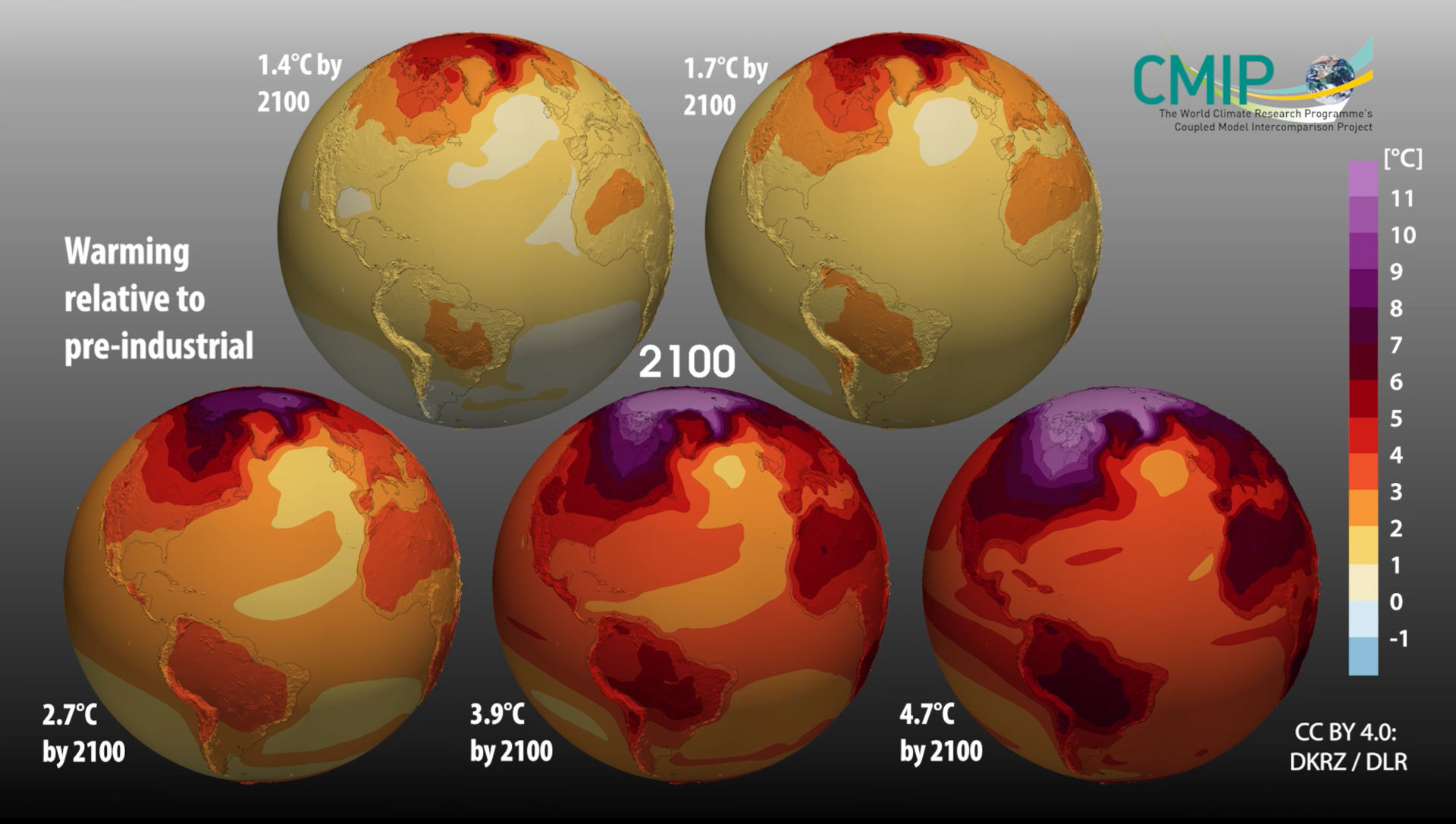
Satellite data indisputably offer great value for climate research and services worldwide. Nevertheless, these data are not systematically included in the international reporting required by the Paris Climate Agreement, so they do not feed into the decision-making process for climate-protection measures. The newly launched CLIMATE-SPACE programme now seeks to change this by introducing satellite-based Earth observation into the United Nations Framework Convention on Climate Change (UNFCCC), which means that it will feature in world climate conferences.
Building on previous programmes, projects focusing on the climate variables are being launched to provide homogeneous long-term series based on the data from the ESA and national missions. This precise climate information should reveal new insights into the Earth system and improve the predictions made by models.
Another new development is the focus on research into the tipping points – if these are exceeded, we will no longer be able to return to the previous climate state. This presents high potential for synergy with national research projects – Germany conducted significant climate-variable projects as part of its previous programme, and was able to expand its scientific position in these areas by involving artificial intelligence (AI) in evaluations. SMEs in the dat-processing sector are heavily involved.
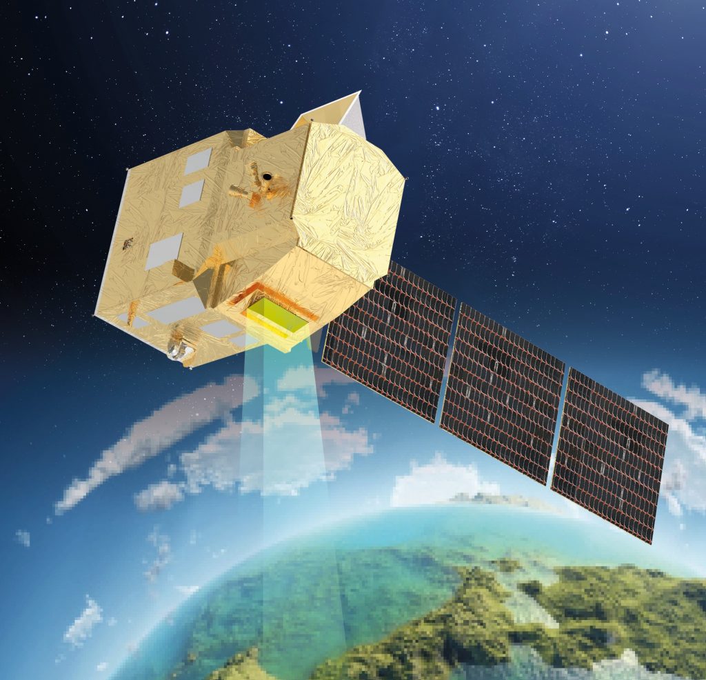
Germany can also contribute through its own missions (EnMAP, TanDEM-X and GRACE-FO, and in the future MERLIN). By investing 20 million euros in the programme, the federal government has taken a positive step towards making German-made data products the basis of international climate-protection measures.
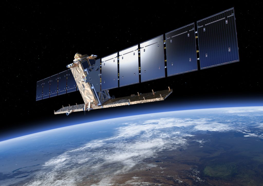
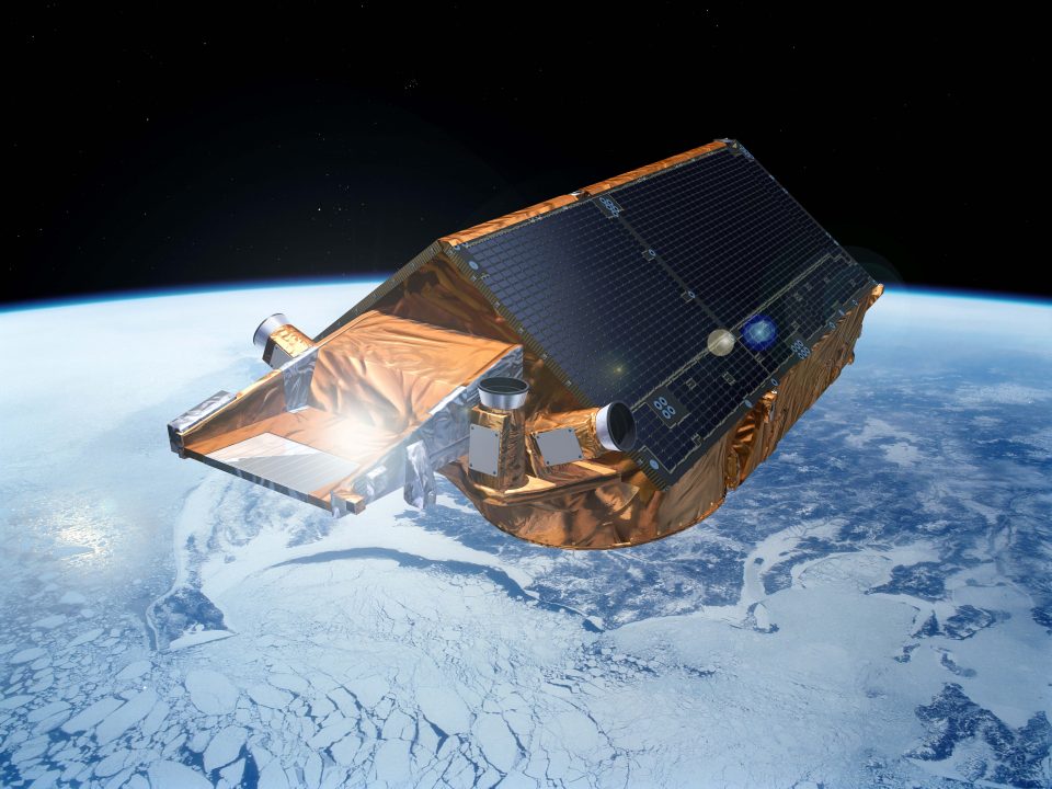
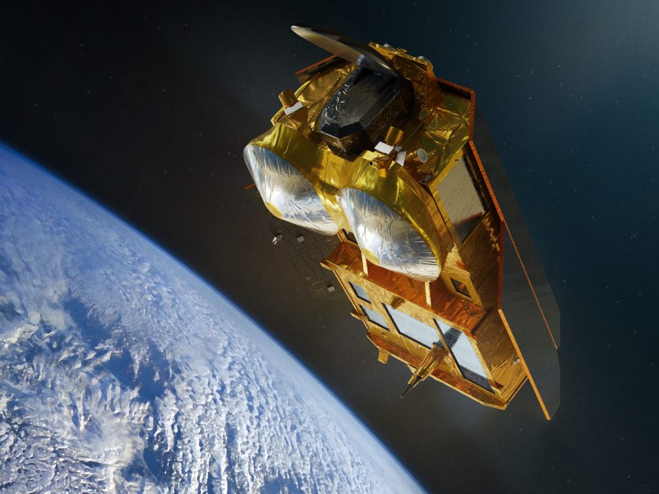
The German-US GRACE mission gets a European partner
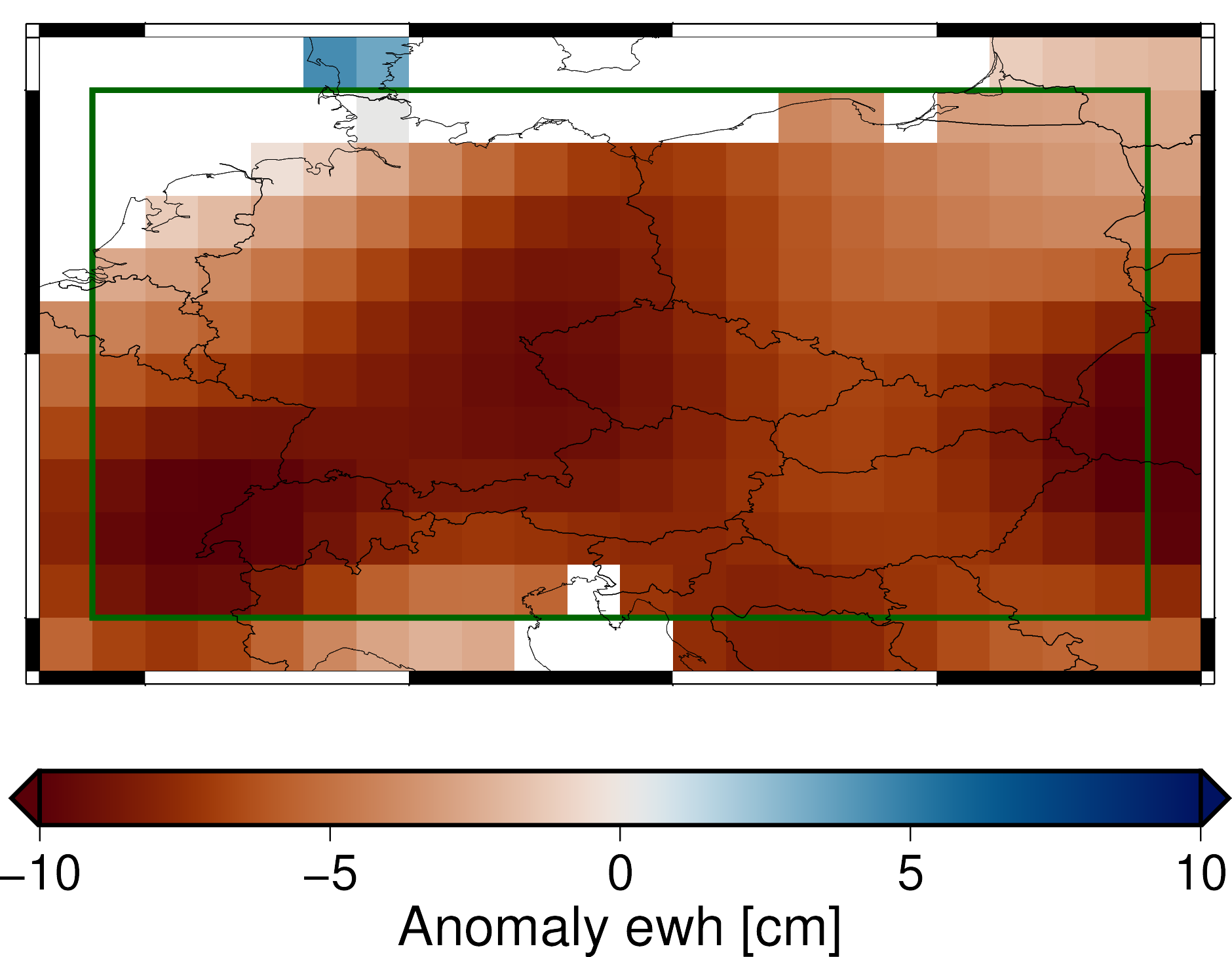
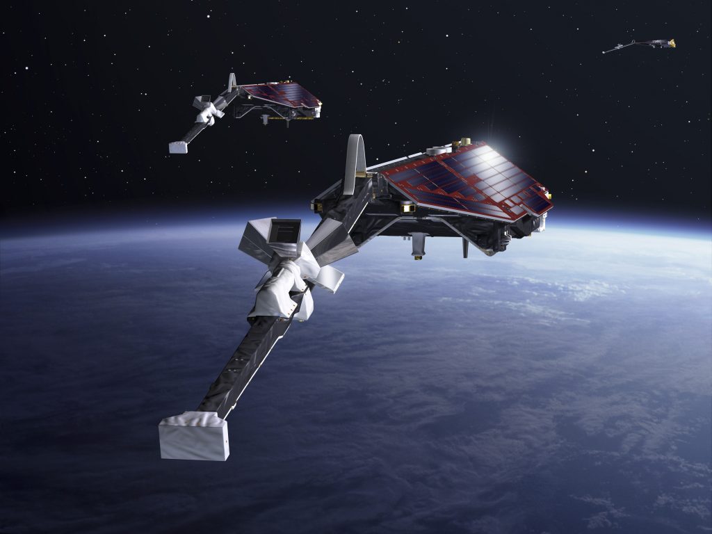
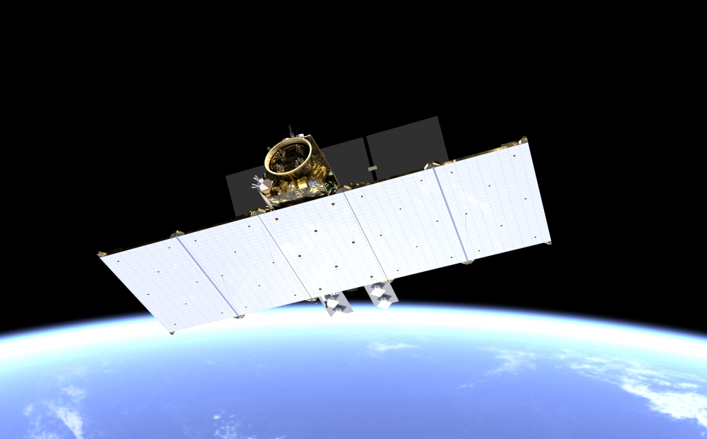
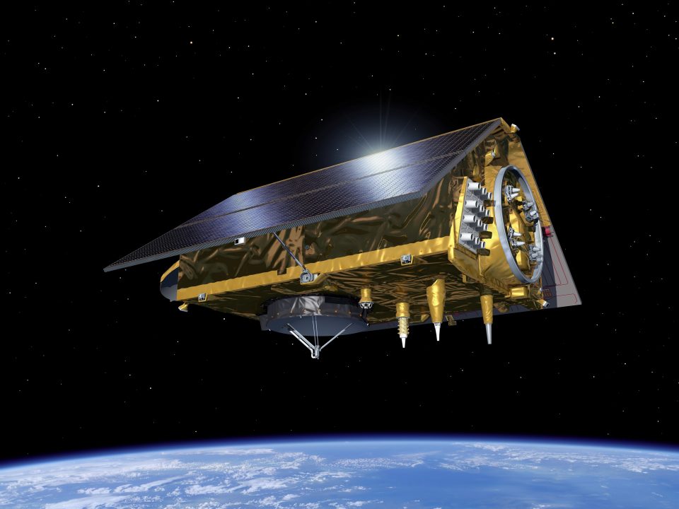
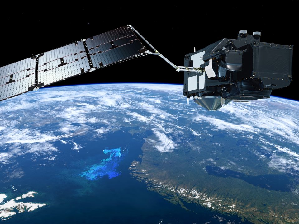
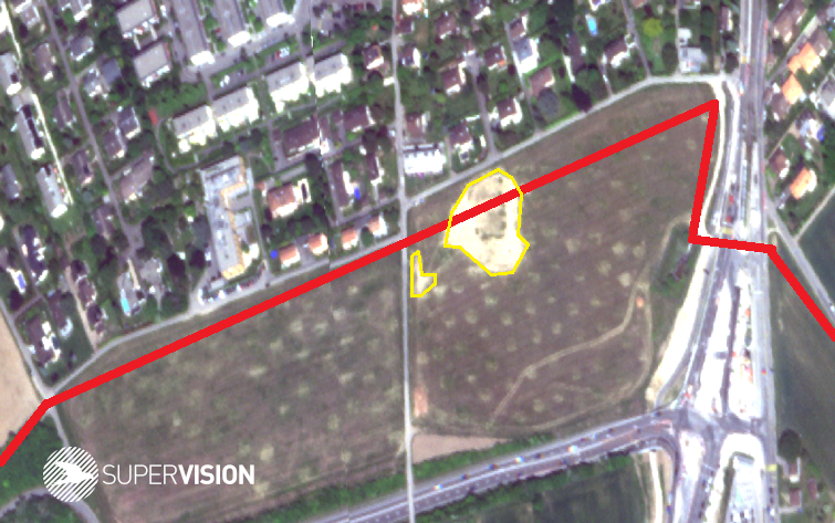
Changes in the groundwater level, such as those that occurred here in Europe in 2018, can be measured globally with the GRACE and GRACE-FO gravity field missions of NASA, the German Space Agency at DLR and the GFZ GeoForschungsZentrum in Potsdam. No other missions can collect this important data as precisely as GRACE. GRACE and GRACE-FO were funded on the German side by the Federal Ministry of Education and Research and the Federal Ministry for Economic Affairs and Climate Action. At the 2022 Ministerial Council Conference in Paris, ESA decided to participate in future GRACE missions through the FutureEO programme. The data from the GRACE missions are repeatedly incorporated into the Assessment Reports of the Intergovernmental Panel on Climate Change (IPCC). In the sixth report, GRACE and GRACE-FO are the third most cited satellite missions.
A driving force for innovative approaches
In addition to FutureEO, the programme Earth Watch – InCubed-2 (Investing in Industrial Innovation Plus) creates a framework for working flexibly and agilely with the European Earth observation industry. This is ESA’s response to the dynamic development of NewSpace activities in the Earth observation sector.
Through industrially managed partnerships, the companies retain full entrepreneurial responsibility while benefiting from ESA’s expertise. This promotes the development of market-driven Earth observation activities, which can be hazardous and associated with high financial risk but have huge potential for success.
InCubed-2 increases the competitiveness of European industry in component manufacturing, mission operations, platform and ground segment technologies and data access, so innovative approaches from European providers can now compete on the global market. Programme content will be determined based on suggestions from industry. ESA provides funding of up to 80% and thus bears a large share of the financial risk. ESA experts also advise on technical aspects, market knowledge and networking.
Since Germany joined the InCubed programme during Space19+ in Seville, Spain, there has been strong interest from German start-ups, SMEs, large space companies and research institutions. By October 2022, more than 30 ideas had been submitted, 13 of which were considered for closer examination. Nine of these projects have been launched so far. By investing 9.6 million euros in the programme, Germany is continuing to pave the way for local companies and research institutions to increase their competitiveness in today’s highly dynamic, global commercial market and consolidate their position in European Earth observation programmes.
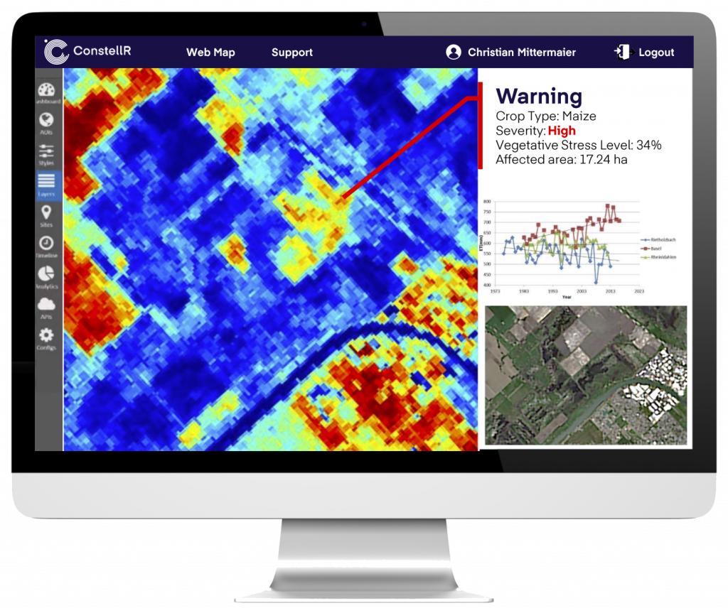
Digital twins as a model of Earth
Digital twins are ‘living’ models that connect the real and virtual worlds. They model the processes of the real world as precisely as possible using data, simulations and AI methods, and aim to create a highly precise replica of the climate, the environment or mobility in the digital world. If, for example, certain environmental parameters such as temperature, precipitation and current land cover data are combined in a digital climate twin, it could predict which regions of the world will be particularly affected by drought or heavy precipitation at a certain point in time. This was an especially pertinent issue at the COP27 World Climate Conference in Sharm El Sheikh. The proposed Earth Watch – Digital Twin Earth programme aims to develop various digital twins based on Earth observation data and to make them accessible on an open platform. This novel linking of data and the use of methods such as artificial intelligence allows Digital Twin Earth to model scenarios for the future of our planet and make an important contribution to combating climate change. Germany’s investment of 2.78 million euros means that German companies and research institutions have the chance to play a part in the technology of the future.
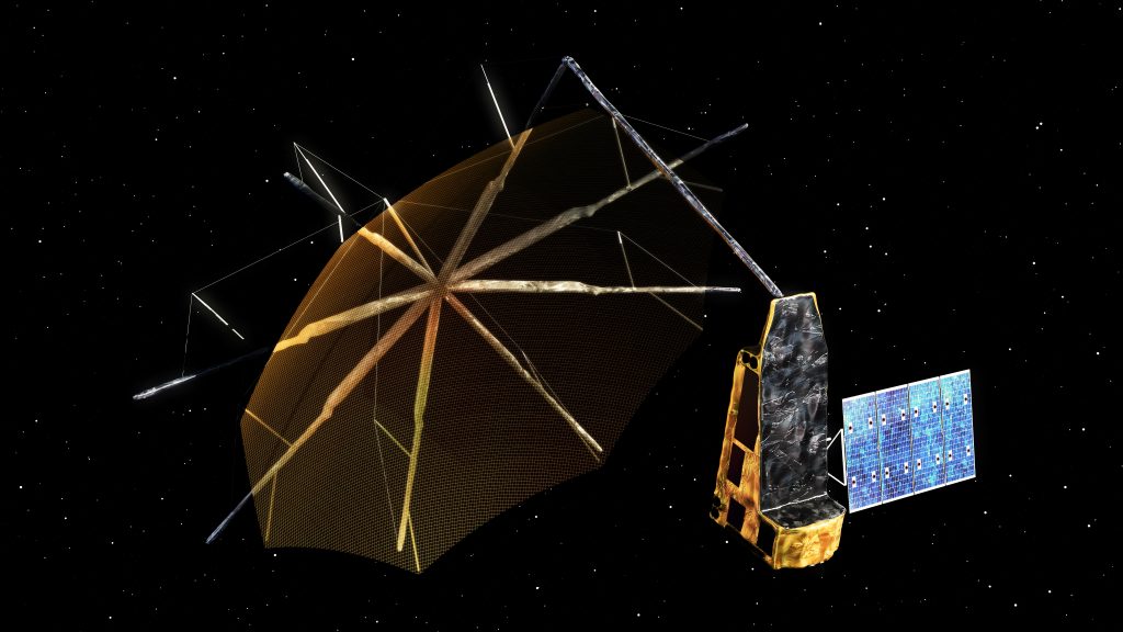
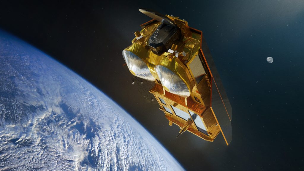
Standardisation laboratory in space
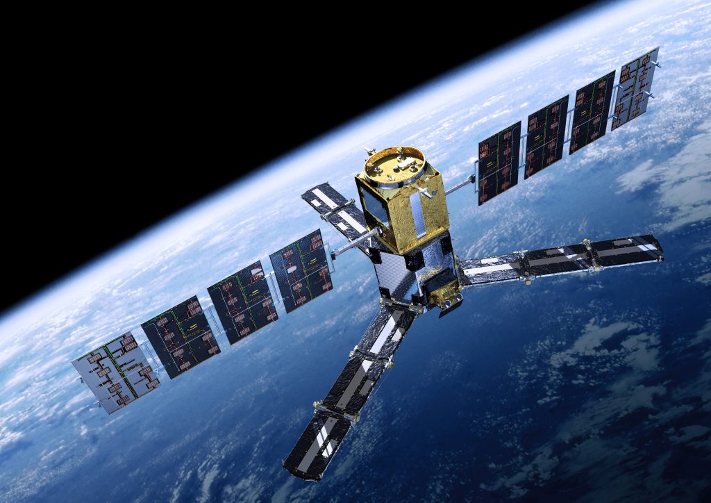
Another new Earth Watch mission, TRUTHS, was proposed for financing at ESA’s Space19+ Ministerial Council in Seville. The mission, promoted by the United Kingdom, is primarily intended to collect reference data sets in order to recalibrate other satellite sensors, such as those carried on the Copernicus missions and the emerging constellations of small satellites. TRUTHS would set up a space-based climate and calibration observing system to improve confidence in climate-change projections – a kind of “standardisation laboratory in space”. For this purpose, TRUTHS would carry a hyperspectral imager to make comparative measurements of both the incoming solar radiation and the outgoing reflected radiation with a high level of accuracy. Its observations would also investigate key climate variables such as radiation balance and the carbon cycle. Germany did not sign up to this programme component in Seville or Paris.