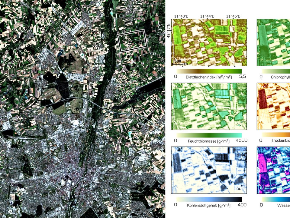
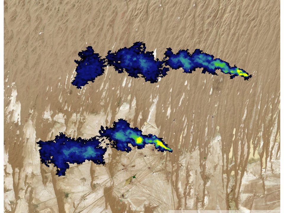
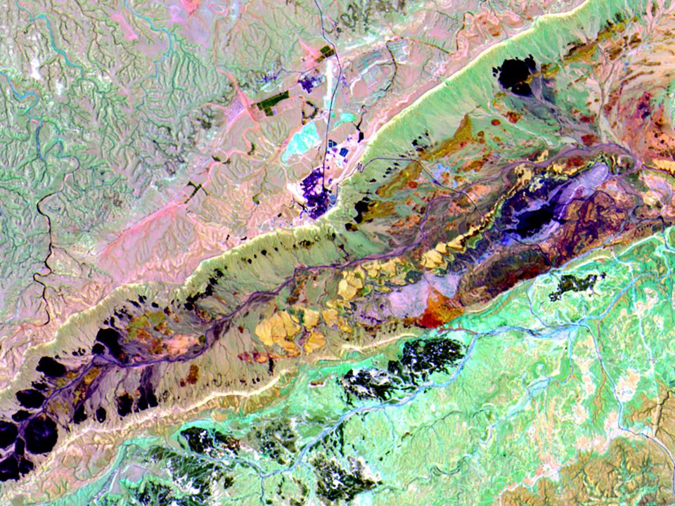
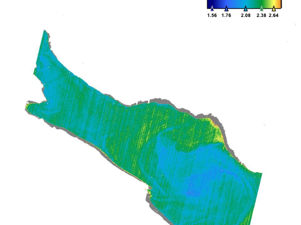
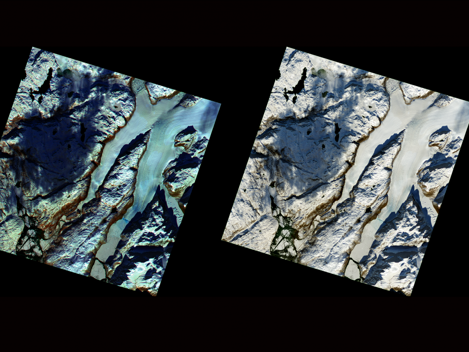
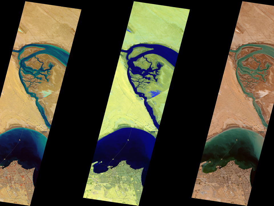
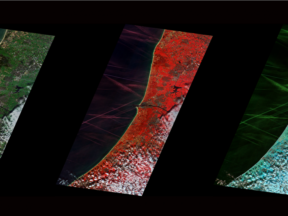
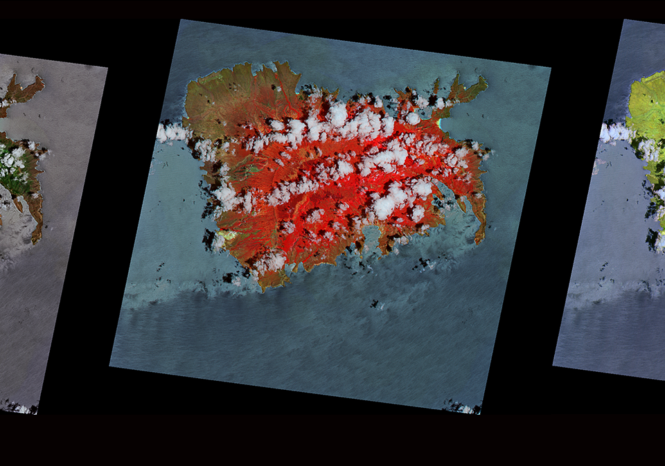
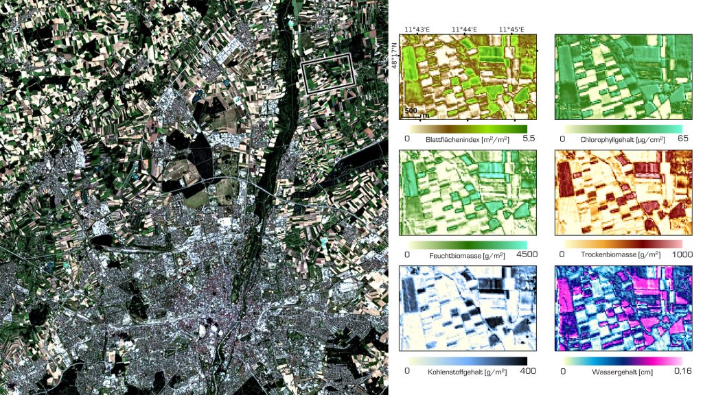
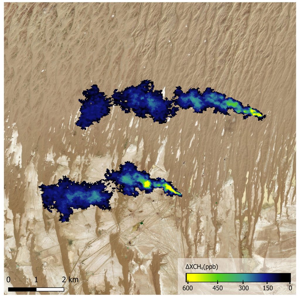
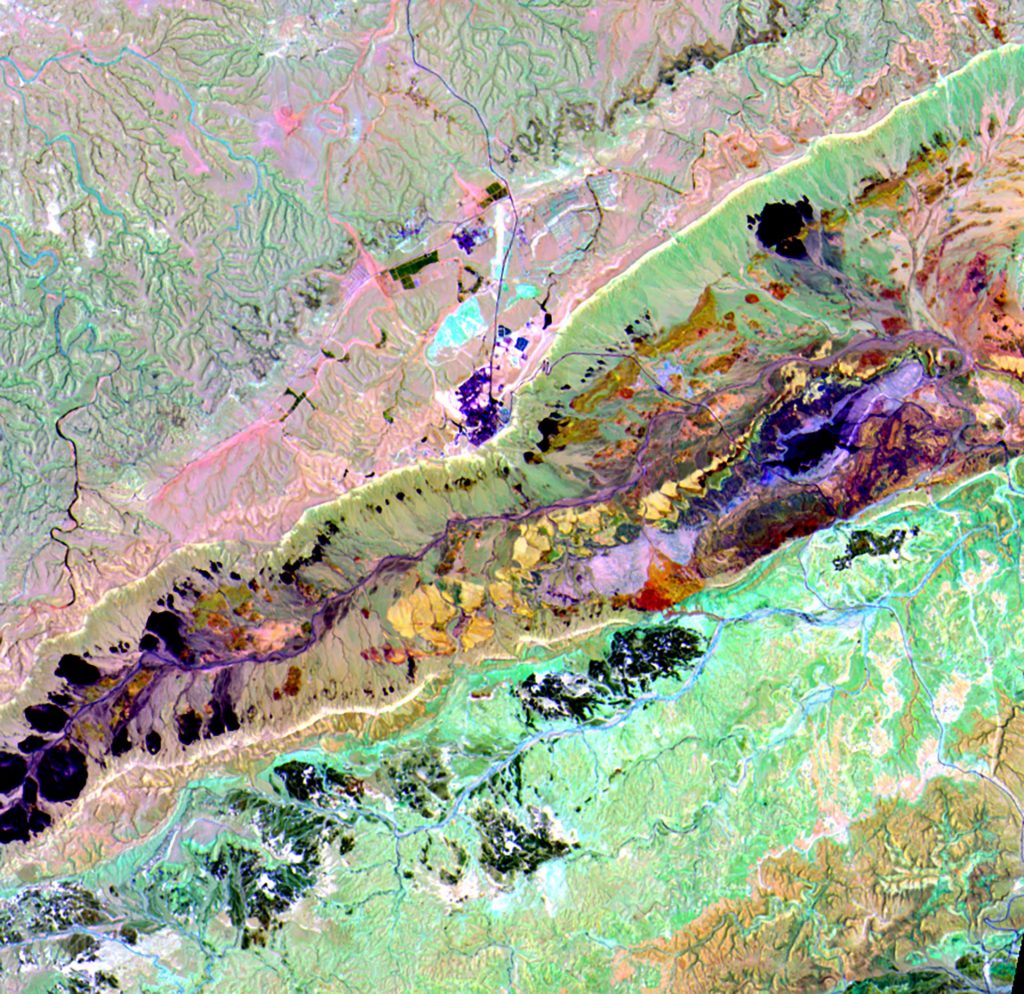
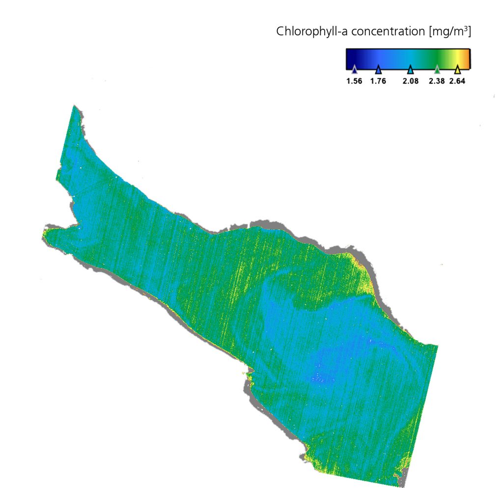
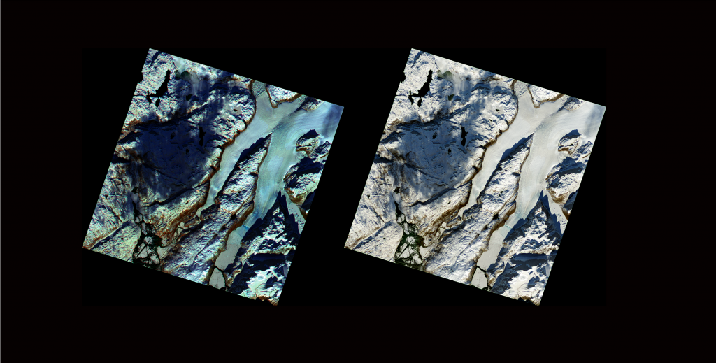
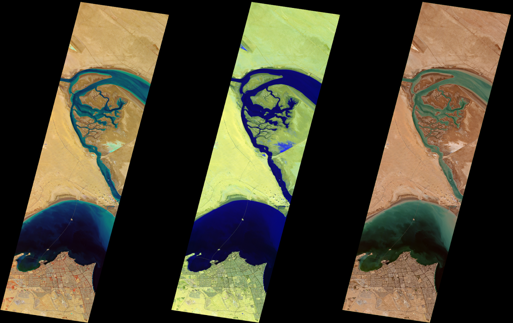
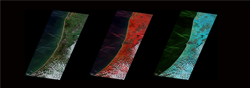
During commissioning, the various components of the EnMAP satellite as well as the HSI instrument had to undergo various tests. During this sensitive phase, the German Space Operations Center in Oberpfaffenhofen (GSOC) was able to contribute to the successful commissioning process with its many years of experience and will continue to provide support for the operation and - if necessary - round the clock safety of the satellite in space. The EnMAP data are received by the German Remote Sensing Data Center (DFD) and the Remote Sensing Technology Institute in Oberpfaffenhofen, which also calibrated all images during the commissioning phase, optimised them to the characteristics of the instrument in orbit and, together with the GeoForschungsZentrum Potsdam (GFZ), thus continuously improved the data quality. This is because the data that the satellite sends to Earth cannot be used directly by the user. Only when they are further processed, in other words calibrated, provided with positional data and corrected for atmospheric influences, can the users draw quantitative and qualitative conclusions from the products.
From now on, researchers from around the world can submit their requests to DLR. Archived data can be accessed immediately free of charge. A consortium led by the German Space Agency at DLR and GFZ will review the observation requests, which can come from the fields of climate change impact, land cover change and surface processes, biodiversity and ecosystem, access to water and water quality, natural resources and disaster management. EnMAP will also provide important data on request for the 'International Charter Space and Major Disasters' for rapid emergency support in the event of a disaster, thus supporting emergency services worldwide. The German Space Agency at DLR considers the long-term monitoring of environmental changes to be particularly important. Therefore, this set of topics will be given priority in the selection of future observations from the start of the routine phase of the mission.

Dr Anna Christmann
Federal Government Coordinator of German Aerospace Policy
