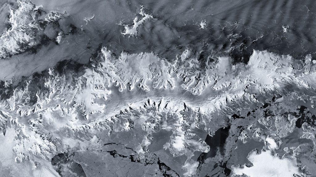
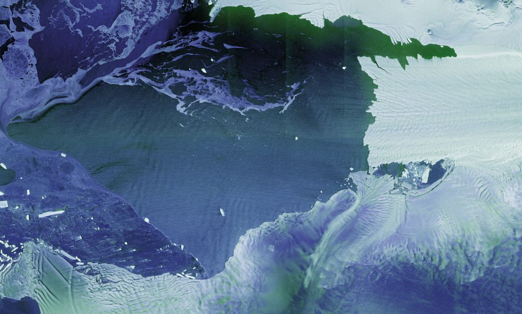
These images have been downlinked and processed within an exceptionally short timeframe. Some of us remember that when Sentinel-1B was launched, it delivered its first radar images within two hours of activation. Sentinel-1D achieved this in an even faster time, setting what we believe is a new record for space radar. This remarkable performance reflects the dedication and exceptional preparation of all the teams involved.
Nuno Miranda,
ESA’s Sentinel-1 mission manager
The Copernicus Sentinel-1 mission consists of two identical satellites in the same Earth orbit, imaging the entire planet’s surface every six days. In 2026, Sentinel-1D will replace the Sentinel-1A satellite currently in orbit, after an overlapping operational phase. Together with Sentinel-1C, launched in 2024, the two will form the new satellite pair. The German Space Agency at DLR supports the Copernicus programme on behalf of the Federal Government at European level and promotes its use in Germany through concrete measures. The radar instrument on Sentinel-1D was built by Airbus in Friedrichshafen, and DLR institutes in Oberpfaffenhofen are assisting with the calibration of the radar instruments.
Copernicus is Europe’s largest and most successful Earth observation programme. It consists of several parallel missions. The Sentinel-1 mission is equipped with a specialised synthetic aperture radar (SAR) instrument that can generate high-resolution images. These are captured day and night, regardless of cloud cover, and cover the entire planet.
Images from Sentinel-1 are needed for numerous applications in the global monitoring of land areas and oceans. Examples include climate change research, environmental management, disaster response – such as during flooding, the detection of minute movements in Earth’s surface including uplift, subsidence and slow landslides, as well as the detection of oil spills and ships and their movements.
Data from the Sentinel-1 mission recently showed that approximately 75 percent of the global fishing fleet was previously invisible to public tracking systems. Not all ships are legally required to report their position. However, ships that are not recorded in public monitoring systems can pose a challenge to the protection and management of marine natural resources and to safety at sea. Satellite data proves invaluable in this and many other areas.
ESA Director General Dr Josef Aschbacher (centre) presents the first satellite images from Sentinel-1D, together with Andrius Kubilius, EU Commissioner for Defence and Space (left), and Philip Evans, Director General of EUMETSAT (right). (© DLR)
Copernicus – a joint programme of the EU and ESA
Copernicus is a joint programme of the EU and the European Space Agency (ESA). Through it, the EU operates satellite-based information services for land surfaces (CLMS), oceans (CMEMS), the atmosphere (CAMS), disaster and crisis management (CEMS), climate change (C3S), and civil security (CSS). An increasing number of German authorities, researchers and innovative companies are also working with Copernicus data. The foundation of these applications and services lies in six satellite families, known as the Sentinels – meaning ‘guardians’ – operated by ESA in collaboration with the European Organisation for the Exploitation of Meteorological Satellites (EUMETSAT). The Sentinels provide vast quantities of images and measurements, all made available to users free of charge. This has led to numerous new government applications and private-sector products in Germany and across Europe. This development is continuing.